See The Whole Picture
Advanced Technology for Innovative Solutions
Aerial Perspective drives innovation and excellence in drone technology, ensuring our client’s success. Our mission is to provide unparalleled services in site inspections, progress tracking, stockpile measurements and land surveying and mapping.
Explore our comprehensive drone services, committed to accuracy and client satisfaction.
Our Services
Progress Tracking
Aerial Perspective will capture aerial imagery and videos to document
construction progress over time. This data can be used for project management,
reporting to stakeholders, and resolving disputes.

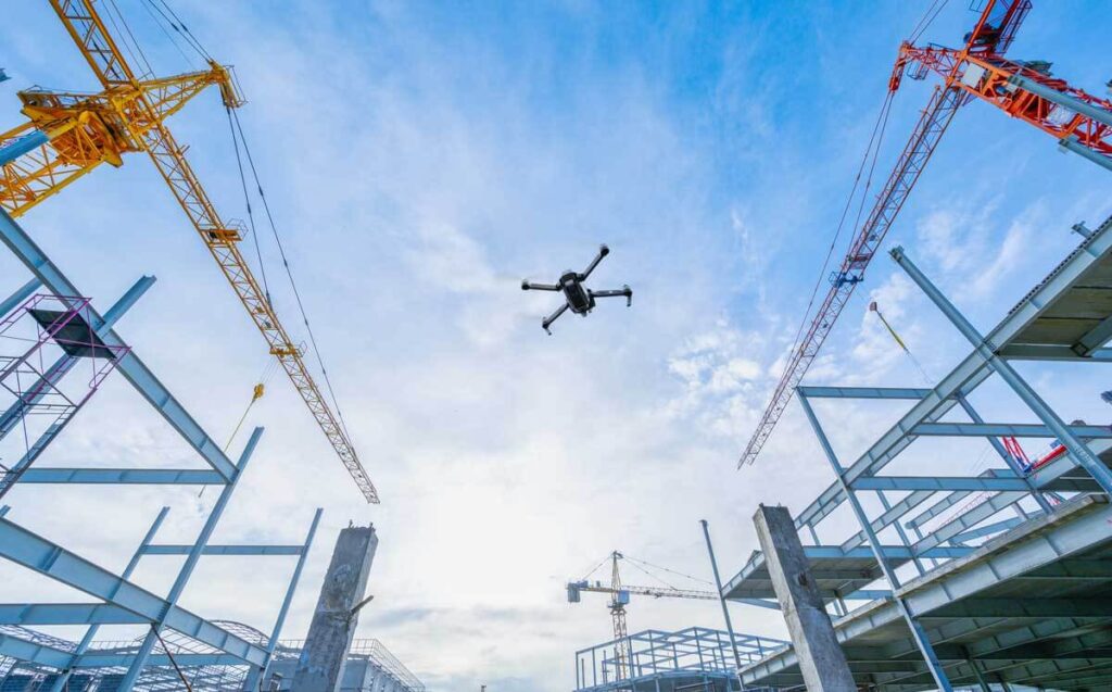
Site Inspection
Using drone technology, we can conduct routine inspections of
construction sites, infrastructure, and buildings, allowing for close-up views of
structures that may be difficult or dangerous for humans to access. Site Inspections
monitors progress, identifies safety hazards, and allows you to assess the quality of
workmanship.
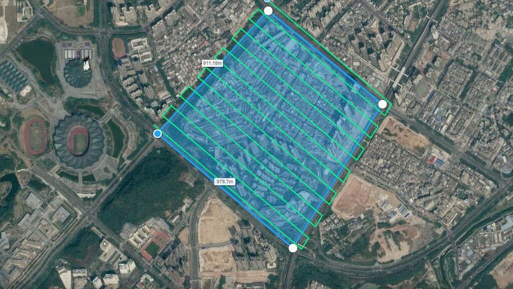
Land Surveying and Mapping
Drones equipped with cameras and sensors
will quickly and accurately survey construction sites, providing high-resolution aerial imagery and 3D maps. This helps in site planning, progress
tracking, and identifying potential issues.
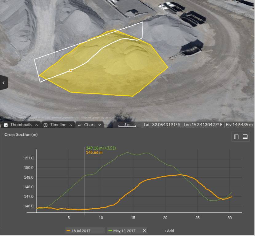
Stockpile Measurements
Aerial Perspective can quickly measure the volume of stockpiles of
materials such as gravel, sand, or construction debris, saving time, reducing the
need for manual measurements,and providing accurate data for all parties.
Elevate Your Projects with Drone Expertise
Reach Us for Effortless Drone Service Solutions